
Zarat topographic map
Interactive map
Click on the map to display elevation.
About this map
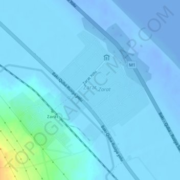
Name: Zarat topographic map, elevation, terrain.
Location: Zarat, Siazan District, Quba - Khachmaz, Azerbaijan (40.93956 49.26392 40.95747 49.29204)
Average elevation: -9 m
Minimum elevation: -31 m
Maximum elevation: 28 m
Other topographic maps
Click on a map to view its topography, its elevation and its terrain.