Geolocate

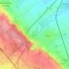
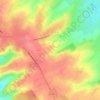
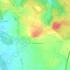
Maninghem topographic map

Click on the map to display elevation.

About this map

Name: Maninghem topographic map, elevation, terrain.

Location: Maninghem, Montreuil-sur-Mer, Pas-de-Calais, Hauts-de-France, Metropolitan France, 62650, France (50.53550 1.92316 50.55994 1.95603)

Average elevation: 171 m

Minimum elevation: 121 m

Maximum elevation: 197 m

Other topographic maps

Click on a map to view its topography, its elevation and its terrain.

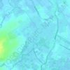
Panehem

France > Hauts-de-France > Pas-de-Calais > Samer

Average elevation: 70 m

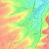
Le Petit Vimy

France > Hauts-de-France > Pas-de-Calais > Vimy

Average elevation: 93 m

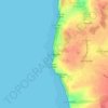
Noyelles

France > Hauts-de-France > Pas-de-Calais > Bours

Average elevation: 125 m

Gear up for your next adventure:

🎒Hiking Backpacks - Comfortable backpacks for day hikes and multi-day treks
🥼Base Layers - Thermal base layers for temperature regulation
🧢Waterproof Hiking Hats - Keep the rain off your face while studying topographic maps
👟Men's Trail Running Shoes - Lightweight grip for fast movement over topographic contours
🩹Hiking First Aid Kits - Compact medical kits tailored for trail injuries and emergencies

As an Amazon Associate, this site earns from qualifying purchases at no extra cost to you.