Geolocate

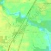
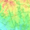
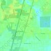
Magnolia topographic map

Click on the map to display elevation.

About this map
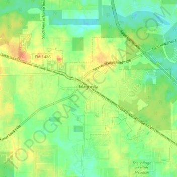
Name: Magnolia topographic map, elevation, terrain.

Location: Magnolia, Montgomery County, Texas, United States (30.18626 -95.78169 30.23538 -95.68905)

Average elevation: 77 m

Minimum elevation: 58 m

Maximum elevation: 102 m

Other topographic maps

Click on a map to view its topography, its elevation and its terrain.
Porter

United States > Texas > Montgomery County

Average elevation: 30 m

New Caney

United States > Texas > Montgomery County

Average elevation: 30 m

Mount Zion

United States > Texas > Montgomery County

Average elevation: 88 m

Bobville

United States > Texas > Montgomery County

Average elevation: 75 m

Gary

United States > Texas > Montgomery County

Average elevation: 71 m

Lakeland

United States > Texas > Montgomery County

Average elevation: 44 m

New Caney

United States > Texas > Montgomery County

Average elevation: 30 m

Conroe

United States > Texas > Montgomery County > Conroe > Conroe

Average elevation: 60 m

Porter

United States > Texas > Montgomery County

Average elevation: 30 m

New Caney

United States > Texas > Montgomery County

Average elevation: 30 m

Security

United States > Texas > Montgomery County

Average elevation: 53 m

Gear up for your next adventure:

🚲Cycling GPS Computers - Track elevation and topographic routes on two wheels
🌄Compact Monoculars - Lightweight optics for hiking
🧊Insulated Flasks - Keeps drinks hot or cold during hikes
🧴Tick Removal Tools - Small, essential health tool for UK woodland and moorland
🚶Walking Pedometers - Simple distance tracking for casual trail walkers

As an Amazon Associate, this site earns from qualifying purchases at no extra cost to you.