
Kampung Besol topographic map
Interactive map
Click on the map to display elevation.
About this map
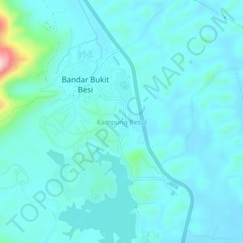
Name: Kampung Besol topographic map, elevation, terrain.
Location: Kampung Besol, Dungun, Terengganu, 23200, Malaysia (4.72840 103.17323 4.76840 103.21323)
Average elevation: 37 m
Minimum elevation: 5 m
Maximum elevation: 273 m
Other topographic maps
Click on a map to view its topography, its elevation and its terrain.