
Zhylyoi District topographic map
Interactive map
Click on the map to display elevation.
About this map
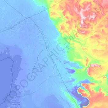
Name: Zhylyoi District topographic map, elevation, terrain.
Location: Zhylyoi District, Atyrau Region, Kazakhstan (45.74588 52.65207 47.79079 56.47182)
Average elevation: 16 m
Minimum elevation: -62 m
Maximum elevation: 253 m
Other topographic maps
Click on a map to view its topography, its elevation and its terrain.