
Mount Erie topographic map
Interactive map
Click on the map to display elevation.
About this map
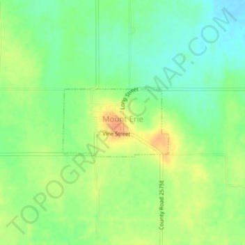
Name: Mount Erie topographic map, elevation, terrain.
Location: Mount Erie, Wayne County, Illinois, United States (38.51088 -88.23960 38.51835 -88.22468)
Average elevation: 139 m
Minimum elevation: 122 m
Maximum elevation: 158 m