
Gambia topographic map
Interactive map
Click on the map to display elevation.
About this map
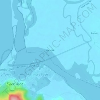
Name: Gambia topographic map, elevation, terrain.
Location: Gambia, Commonwealth-C2, Grand Cape Mount County, Liberia (6.74583 -11.37306 6.78583 -11.33306)
Average elevation: 6 m
Minimum elevation: -3 m
Maximum elevation: 169 m