
Toulous topographic map
Interactive map
Click on the map to display elevation.
About this map
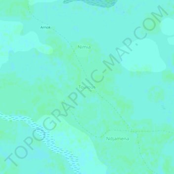
Name: Toulous topographic map, elevation, terrain.
Location: Toulous, Goulfey, Logone-et-Chari, Far-North, Cameroon (12.33107 14.81274 12.37107 14.85274)
Average elevation: 291 m
Minimum elevation: 289 m
Maximum elevation: 293 m