
Baconton topographic map
Interactive map
Click on the map to display elevation.
About this map
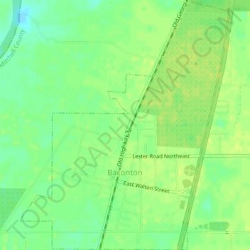
Name: Baconton topographic map, elevation, terrain.
Location: Baconton, Mitchell County, Georgia, United States (31.36823 -84.17602 31.39852 -84.14612)
Average elevation: 54 m
Minimum elevation: 44 m
Maximum elevation: 59 m