Geolocate

Doxato topographic map

Click on the map to display elevation.

About this map
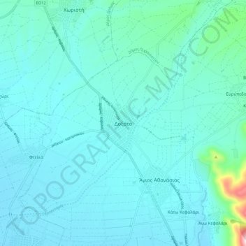
Name: Doxato topographic map, elevation, terrain.

Location: Doxato, Doxato Municipal Unit, Doxato Municipality, Drama Regional Unit, Eastern Macedonia and Thrace, Macedonia and Thrace, 663 00, Greece (41.05351 24.19087 41.13351 24.27087)

Average elevation: 114 m

Minimum elevation: 67 m

Maximum elevation: 513 m

Gear up for your next adventure:

🕶️Glacier Goggles - Maximum protection for high-altitude snow topography
🥾Trekking Poles - Poles to improve stability on uneven terrain
🧤Waterproof Overmitts - Extreme weather protection for hikers and mountaineers
🧊Personal Water Filters - Drink safely from mountain streams marked on your map
📚UK Hiking Guidebooks - Detailed route descriptions for the Lake District, Peaks, and Highlands

As an Amazon Associate, this site earns from qualifying purchases at no extra cost to you.