
Make a donation
Gear up for your next adventure:
As an Amazon Associate, this site earns from qualifying purchases at no extra cost to you.
Khan Shaykhun topographic map
Click on the map to display elevation.
Make a donation
Gear up for your next adventure:
As an Amazon Associate, this site earns from qualifying purchases at no extra cost to you.
Khan Shaykhun
Khan Shaykhun is located at an altitude of 350 meters on the main highway between Aleppo and Damascus. The local economy is primarily agricultural, focusing on the growing of cotton and cereals. The town was formerly known for producing embroidery. Nearby localities include Hbit to the west, Kafr Zita to southwest, Murak to the south and Al-Tamanah to the east.
Make a donation
Gear up for your next adventure:
As an Amazon Associate, this site earns from qualifying purchases at no extra cost to you.
About this map
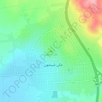
Name: Khan Shaykhun topographic map, elevation, terrain.
Average elevation: 374 m
Minimum elevation: 332 m
Maximum elevation: 480 m
Make a donation
Gear up for your next adventure:
As an Amazon Associate, this site earns from qualifying purchases at no extra cost to you.