
Yungang District topographic map
Interactive map
Click on the map to display elevation.
About this map
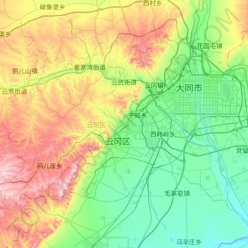
Name: Yungang District topographic map, elevation, terrain.
Location: Yungang District, Datong, Shanxi, 037001, China (39.88886 112.86318 40.17354 113.39404)
Average elevation: 1,186 m
Minimum elevation: 967 m
Maximum elevation: 1,696 m
Other topographic maps
Click on a map to view its topography, its elevation and its terrain.