
Stuðlagil topographic map
Interactive map
Click on the map to display elevation.
About this map
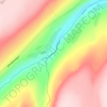
Name: Stuðlagil topographic map, elevation, terrain.
Location: Stuðlagil, Grund, Múlaþing, Austurland, Islande (65.16249 -15.30786 65.16259 -15.30776)
Average elevation: 427 m
Minimum elevation: 289 m
Maximum elevation: 542 m
Other topographic maps
Click on a map to view its topography, its elevation and its terrain.
Egilsstaðir
Islande > Múlaþing > Egilsstaðir
Egilsstaðir, Múlaþing, Austurland, 700, Islande
Average elevation: 99 m