
Lawdar topographic map
Interactive map
Click on the map to display elevation.
About this map
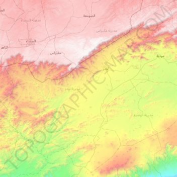
Name: Lawdar topographic map, elevation, terrain.
Location: Lawdar, Abyan, Yémen (13.48516 45.45303 14.12578 46.14876)
Average elevation: 1,268 m
Minimum elevation: 93 m
Maximum elevation: 2,400 m
Other topographic maps
Click on a map to view its topography, its elevation and its terrain.