
中山古镇 topographic map
Interactive map
Click on the map to display elevation.
About this map
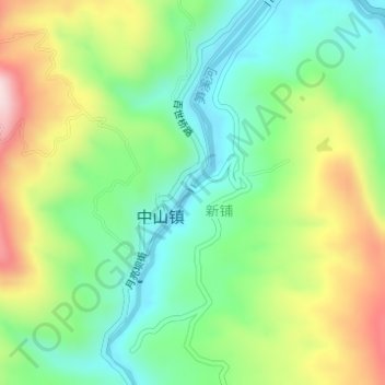
Name: 中山古镇 topographic map, elevation, terrain.
Location: 中山古镇, 百世桥路, 中山镇, 江津区, 重庆市, 中国 (28.84392 106.32657 28.84402 106.32667)
Average elevation: 365 m
Minimum elevation: 228 m
Maximum elevation: 595 m