
Grand Crossing topographic map
Interactive map
Click on the map to display elevation.
About this map
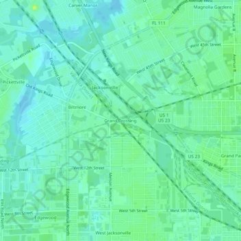
Name: Grand Crossing topographic map, elevation, terrain.
Average elevation: 8 m
Minimum elevation: 3 m
Maximum elevation: 16 m
Other topographic maps
Click on a map to view its topography, its elevation and its terrain.
Julington-Durbin Preserve
United States > Florida > Duval County > Jacksonville
Average elevation: 7 m
Dutton Island Preserve
United States > Florida > Duval County > Jacksonville > Oak Harbor
Average elevation: 2 m