
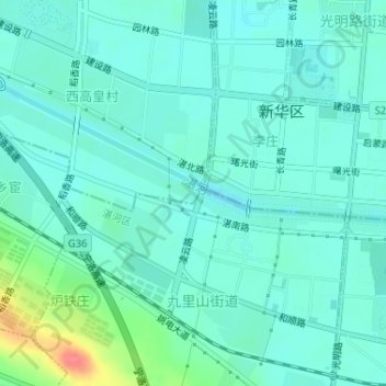
槐园 topographic map
Interactive map
Click on the map to display elevation.
About this map
Name: 槐园 topographic map, elevation, terrain.
Location: 槐园, 新华区, 平顶山市, 河南省, 中国 (33.73306 113.27291 33.73316 113.27301)
Average elevation: 93 m
Minimum elevation: 80 m
Maximum elevation: 144 m
Other topographic maps
Click on a map to view its topography, its elevation and its terrain.