
A Cidá topographic map
Interactive map
Click on the map to display elevation.
About this map
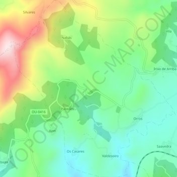
Name: A Cidá topographic map, elevation, terrain.
Location: A Cidá, O Irixo, O Carballiño, Ourense, Galicia, 32539, Spain (42.49580 -8.16375 42.52895 -8.12345)
Average elevation: 593 m
Minimum elevation: 457 m
Maximum elevation: 846 m
Other topographic maps
Click on a map to view its topography, its elevation and its terrain.