
Arbuckle topographic map
Interactive map
Click on the map to display elevation.
About this map
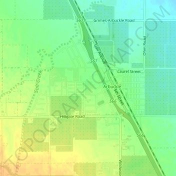
Name: Arbuckle topographic map, elevation, terrain.
Average elevation: 42 m
Minimum elevation: 27 m
Maximum elevation: 58 m
Other topographic maps
Click on a map to view its topography, its elevation and its terrain.
Williams
États-Unis d'Amérique > Californie > Colusa County
Williams, Colusa County, Californie, 95987, États-Unis d'Amérique
Average elevation: 26 m
Maxwell
États-Unis d'Amérique > Californie > Colusa County
Maxwell, Colusa County, Californie, 95955, États-Unis d'Amérique
Average elevation: 27 m