
Wad Rawah topographic map
Interactive map
Click on the map to display elevation.
About this map
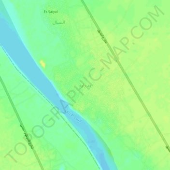
Name: Wad Rawah topographic map, elevation, terrain.
Location: Wad Rawah, Gezira State, Sudan (15.14379 33.11065 15.18379 33.15065)
Average elevation: 392 m
Minimum elevation: 381 m
Maximum elevation: 401 m