
Paulson topographic map
Interactive map
Click on the map to display elevation.
About this map
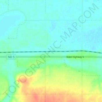
Name: Paulson topographic map, elevation, terrain.
Location: Paulson, Divide County, North Dakota, United States (48.87670 -103.15324 48.91670 -103.11324)
Average elevation: 592 m
Minimum elevation: 579 m
Maximum elevation: 627 m