
Bulangira topographic map
Interactive map
Click on the map to display elevation.
About this map
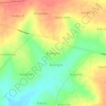
Name: Bulangira topographic map, elevation, terrain.
Location: Bulangira, Kibuku, Eastern Region, Uganda (1.10106 33.87877 1.14106 33.91877)
Average elevation: 1,110 m
Minimum elevation: 1,078 m
Maximum elevation: 1,140 m