
Thank you for supporting this site ❤️
Make a donation
Make a donation
Gear up for your next adventure:
As an Amazon Associate, this site earns from qualifying purchases at no extra cost to you.
Manoyoi topographic map
Click on the map to display elevation.
Thank you for supporting this site ❤️
Make a donation
Make a donation
Gear up for your next adventure:
As an Amazon Associate, this site earns from qualifying purchases at no extra cost to you.
About this map
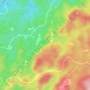
Name: Manoyoi topographic map, elevation, terrain.
Location: Manoyoi, Bot-Makak, Nyong-et-Kéllé, Région du Centre, Cameroun (3.97614 11.08732 4.01614 11.12732)
Average elevation: 567 m
Minimum elevation: 411 m
Maximum elevation: 748 m
Thank you for supporting this site ❤️
Make a donation
Make a donation
Gear up for your next adventure:
As an Amazon Associate, this site earns from qualifying purchases at no extra cost to you.