
Rivera topographic map
Interactive map
Click on the map to display elevation.
About this map
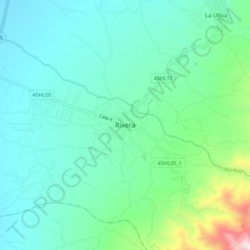
Name: Rivera topographic map, elevation, terrain.
Location: Rivera, Norte, Huila, Colombia (2.73764 -75.29722 2.81764 -75.21722)
Average elevation: 728 m
Minimum elevation: 489 m
Maximum elevation: 1,738 m