
Cunurana topographic map
Interactive map
Click on the map to display elevation.
About this map
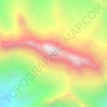
Name: Cunurana topographic map, elevation, terrain.
Location: Cunurana, Santa Rosa, Province of Melgar, Puno, Peru (-14.54858 -70.83140 -14.54848 -70.83130)
Average elevation: 4,912 m
Minimum elevation: 4,337 m
Maximum elevation: 5,406 m