
Budira topographic map
Interactive map
Click on the map to display elevation.
About this map
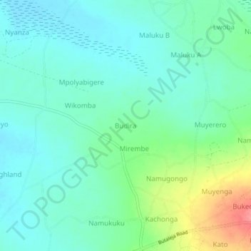
Name: Budira topographic map, elevation, terrain.
Location: Budira, Butaleja, Eastern Region, Uganda (0.98207 34.06856 1.02207 34.10856)
Average elevation: 1,100 m
Minimum elevation: 1,079 m
Maximum elevation: 1,158 m