
Nour topographic map
Interactive map
Click on the map to display elevation.
About this map
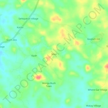
Name: Nour topographic map, elevation, terrain.
Location: Nour, Neekreen, Grand Bassa County, Liberia (5.89129 -9.95141 5.93129 -9.91141)
Average elevation: 36 m
Minimum elevation: 14 m
Maximum elevation: 74 m