Geolocate

Gunga topographic map

Click on the map to display elevation.

About this map

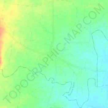
Name: Gunga topographic map, elevation, terrain.

Location: Gunga, Berasia Tahsil, Bhopal District, Madhya Pradesh, India (23.43152 77.34296 23.46729 77.37774)

Average elevation: 498 m

Minimum elevation: 482 m

Maximum elevation: 523 m

Other topographic maps

Click on a map to view its topography, its elevation and its terrain.

Berasia

India > Madhya Pradesh > Berasia Tahsil

Average elevation: 478 m

Bagsi

India > Madhya Pradesh > Berasia Tahsil

Average elevation: 456 m

Gear up for your next adventure:

👖Packable Overtrousers - Quick-deploy rain protection for legs in sudden storms
🧭Orienteering Compasses - Accurate compasses for map-based navigation
🧺Microfibre Travel Towels - Fast-drying and compact towels for wild swimming and camping
📸Action Camera Chest Mounts - Record your ascent following topographic paths hands-free
🧴Tick Removal Tools - Small, essential health tool for UK woodland and moorland

As an Amazon Associate, this site earns from qualifying purchases at no extra cost to you.