
Arlington topographic map
Interactive map
Click on the map to display elevation.
About this map
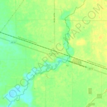
Name: Arlington topographic map, elevation, terrain.
Location: Arlington, Rush County, Indiana, 46104, United States (39.62236 -85.59667 39.66236 -85.55667)
Average elevation: 280 m
Minimum elevation: 266 m
Maximum elevation: 290 m