
Sumberpetung topographic map
Interactive map
Click on the map to display elevation.
About this map
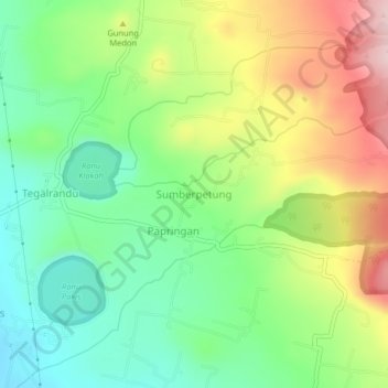
Name: Sumberpetung topographic map, elevation, terrain.
Location: Sumberpetung, Lumajang, East Java, Java, Indonesia (-8.00796 113.26230 -7.96796 113.30230)
Average elevation: 295 m
Minimum elevation: 194 m
Maximum elevation: 451 m