
Tha Chang topographic map
Interactive map
Click on the map to display elevation.
About this map
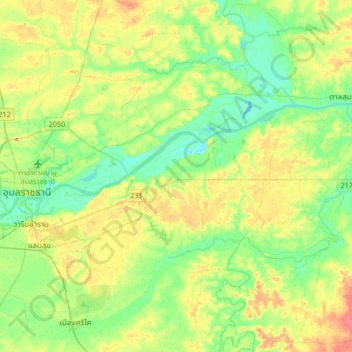
Name: Tha Chang topographic map, elevation, terrain.
Location: Tha Chang, Ubon Ratchathani Province, Thailand (15.08227 104.84007 15.40227 105.16007)
Average elevation: 126 m
Minimum elevation: 108 m
Maximum elevation: 153 m