
Stiappa topographic map
Interactive map
Click on the map to display elevation.
About this map
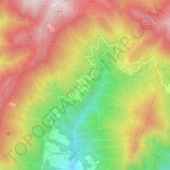
Name: Stiappa topographic map, elevation, terrain.
Location: Stiappa, Pescia, Pistoia, Toscana, 51017, Italia (43.97291 10.68991 44.01291 10.72991)
Average elevation: 738 m
Minimum elevation: 297 m
Maximum elevation: 1,114 m
Other topographic maps
Click on a map to view its topography, its elevation and its terrain.