
Ploštine topographic map
Interactive map
Click on the map to display elevation.
About this map
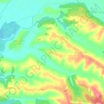
Name: Ploštine topographic map, elevation, terrain.
Location: Ploštine, Grad Pakrac, Požega-Slavonia County, Croatia (45.47850 17.10139 45.51850 17.14139)
Average elevation: 151 m
Minimum elevation: 118 m
Maximum elevation: 197 m