
Goshen topographic map
Interactive map
Click on the map to display elevation.
About this map
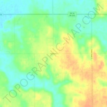
Name: Goshen topographic map, elevation, terrain.
Location: Goshen, Scott County, Indiana, United States (38.65145 -85.72969 38.69145 -85.68969)
Average elevation: 181 m
Minimum elevation: 163 m
Maximum elevation: 202 m
Other topographic maps
Click on a map to view its topography, its elevation and its terrain.