
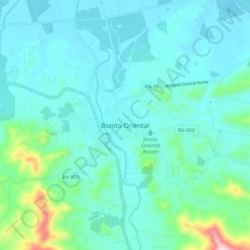
Bonito Oriental topographic map
Interactive map
Click on the map to display elevation.
About this map
Name: Bonito Oriental topographic map, elevation, terrain.
Location: Bonito Oriental, Honduras (15.70763 -85.77136 15.78763 -85.69136)
Average elevation: 72 m
Minimum elevation: 4 m
Maximum elevation: 452 m