
Meixian District topographic map
Interactive map
Click on the map to display elevation.
About this map
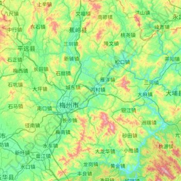
Name: Meixian District topographic map, elevation, terrain.
Location: Meixian District, Meizhou, Guangdong Province, China (23.91374 115.77762 24.80476 116.55422)
Average elevation: 301 m
Minimum elevation: 20 m
Maximum elevation: 1,488 m
Other topographic maps
Click on a map to view its topography, its elevation and its terrain.