
Nogueiras topographic map
Interactive map
Click on the map to display elevation.
About this map
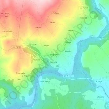
Name: Nogueiras topographic map, elevation, terrain.
Location: Nogueiras, A Mota, Guntim, Lugo, Galiza, 27362, Espanha (42.86201 -7.56570 42.90201 -7.52570)
Average elevation: 433 m
Minimum elevation: 337 m
Maximum elevation: 595 m