
Trandeiras topographic map
Interactive map
Click on the map to display elevation.
About this map
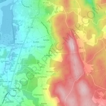
Name: Trandeiras topographic map, elevation, terrain.
Location: Trandeiras, Valdoviño, Ferrol, Corunha, Galiza, 15552, Espanha (43.57358 -8.15388 43.61358 -8.11388)
Average elevation: 146 m
Minimum elevation: -2 m
Maximum elevation: 317 m