Geolocate

Bu Baqarah topographic map

Interactive map

Click on the map to display elevation.

About this map

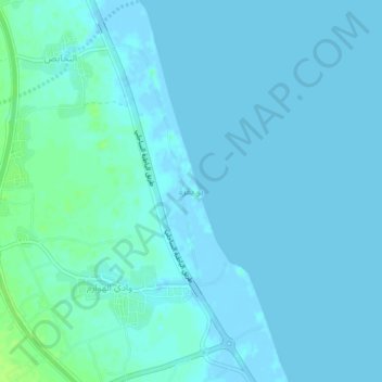
Name: Bu Baqarah topographic map, elevation, terrain.

Location: Bu Baqarah, Al Batinah North Governorate, Oman (24.85955 56.38854 24.89955 56.42854)

Average elevation: 2 m

Minimum elevation: -4 m

Maximum elevation: 12 m

Other topographic maps

Click on a map to view its topography, its elevation and its terrain.

Khadhrawain

Oman > Al Batinah North Governorate

Khadhrawain, Al Batinah North Governorate, Oman

Average elevation: 14 m

Wadi al Hilti

Oman > Al Batinah North Governorate > Sohar

Wadi al Hilti, Sohar, Al Batinah North Governorate, Oman

Average elevation: 50 m

Al Khaburah

Oman > Al Batinah North Governorate

Al Khaburah, Al Batinah North Governorate, Oman

Average elevation: 36 m

Majis

Oman > Al Batinah North Governorate

Majis, Al Batinah North Governorate, Oman

Average elevation: 5 m

Sanqar

Oman > Al Batinah North Governorate

Sanqar, Al Batinah North Governorate, Oman

Average elevation: 4 m

Zaab

Oman > Al Batinah North Governorate > Abu Durus

Zaab, Abu Durus, Al Batinah North Governorate, Oman

Average elevation: 2 m

Sohar

Oman > Al Batinah North Governorate

Sohar, Al Batinah North Governorate, 311, Oman

Average elevation: 27 m

Al Masnaa

Oman > Al Batinah North Governorate > Al Masnaa

Al Masnaa, Al Batinah North Governorate, Oman

Average elevation: 5 m

Saham

Oman > Al Batinah North Governorate > Saham

Saham, Al Batinah North Governorate, 319, Oman

Average elevation: 40 m

As Suwaiq

Oman > Al Batinah North Governorate

As Suwaiq, Al Batinah North Governorate, 207, Oman

Average elevation: 27 m