
Furnace Woods topographic map
Interactive map
Click on the map to display elevation.
About this map
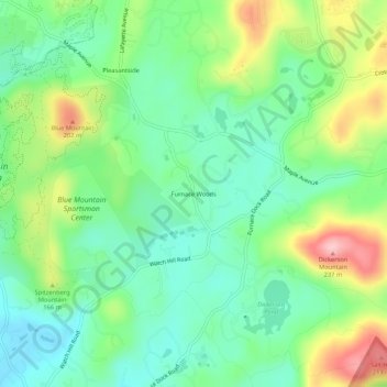
Name: Furnace Woods topographic map, elevation, terrain.
Average elevation: 116 m
Minimum elevation: 56 m
Maximum elevation: 232 m
Other topographic maps
Click on a map to view its topography, its elevation and its terrain.
Village of Croton-on-Hudson
United States > New York > Westchester County > Town of Cortlandt
Average elevation: 42 m
Van Cortlandtville
United States > New York > Westchester County > Town of Cortlandt
Average elevation: 80 m