Geolocate

Balong topographic map

Interactive map

Click on the map to display elevation.

About this map

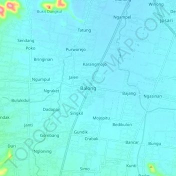
Name: Balong topographic map, elevation, terrain.

Location: Balong, Ponorogo, East Java, Java, Indonesia (-7.99785 111.39672 -7.91785 111.47672)

Average elevation: 111 m

Minimum elevation: 97 m

Maximum elevation: 291 m

Other topographic maps

Click on a map to view its topography, its elevation and its terrain.

Carat

Indonesia > East Java > Ponorogo

Average elevation: 102 m

Gunung Prau

Indonesia > East Java > Ponorogo

Average elevation: 1,464 m

Nampan

Indonesia > East Java > Ponorogo

Average elevation: 103 m