
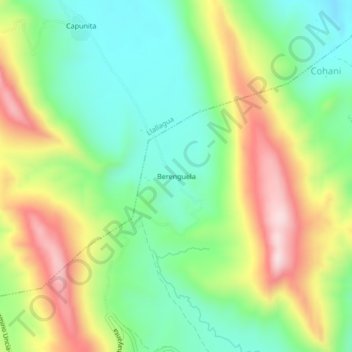
Berenguela topographic map
Interactive map
Click on the map to display elevation.
About this map
Name: Berenguela topographic map, elevation, terrain.
Location: Berenguela, Provincia Rafael Bustillo, Potosí, Bolivia (-18.44459 -66.49317 -18.40459 -66.45317)
Average elevation: 3,868 m
Minimum elevation: 3,690 m
Maximum elevation: 4,144 m