
Kampung Siluk topographic map
Interactive map
Click on the map to display elevation.
About this map
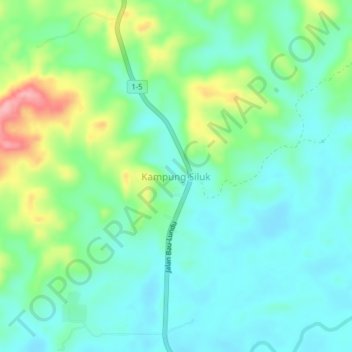
Name: Kampung Siluk topographic map, elevation, terrain.
Location: Kampung Siluk, Lundu, Kuching Division, Sarawak, Malaysia (1.50597 109.89738 1.54597 109.93738)
Average elevation: 39 m
Minimum elevation: 4 m
Maximum elevation: 129 m
Other topographic maps
Click on a map to view its topography, its elevation and its terrain.