Geolocate

Cerrado topographic map

Click on the map to display elevation.

About this map
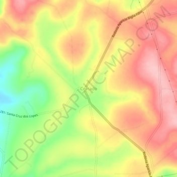
Name: Cerrado topographic map, elevation, terrain.

Location: Cerrado, Itararé, Região Imediata de Itapeva, Região Geográfica Intermediária de Sorocaba, São Paulo, Southeast Region, Brazil (-24.06696 -49.36784 -24.02696 -49.32784)

Average elevation: 770 m

Minimum elevation: 677 m

Maximum elevation: 835 m

Gear up for your next adventure:

🗺️Ordnance Survey Maps - Official UK maps for walking and outdoor activities
🎒Multi-day Trekking Packs - Large capacity backpacks for wild camping and long-distance trails
🔪Outdoor Multi-Tools - Versatile tools for gear repairs and food prep in the wild
🧭Orienteering Compasses - Accurate compasses for map-based navigation
🔦LED Camping Lanterns - Illumination for reading maps inside your tent at night

As an Amazon Associate, this site earns from qualifying purchases at no extra cost to you.