
Magelang topographic map
Interactive map
Click on the map to display elevation.
About this map
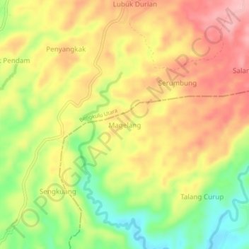
Name: Magelang topographic map, elevation, terrain.
Location: Magelang, Bengkulu Tengah, Bengkulu, Sumatra, Indonésie (-3.56943 102.25018 -3.52943 102.29018)
Average elevation: 103 m
Minimum elevation: 21 m
Maximum elevation: 170 m