
Lécheré topographic map
Interactive map
Click on the map to display elevation.
About this map
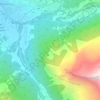
Name: Lécheré topographic map, elevation, terrain.
Location: Lécheré, Ormont-Dessus, District d'Aigle, Vaud, 1865, Suisse (46.32871 7.16427 46.34871 7.18427)
Average elevation: 1,527 m
Minimum elevation: 1,158 m
Maximum elevation: 2,482 m
Other topographic maps
Click on a map to view its topography, its elevation and its terrain.
Ormont-Dessus
Suisse > Vaud > Ormont-Dessus
Ormont-Dessus, District d'Aigle, Vaud, Suisse
Average elevation: 1,864 m