
Jajarkot topographic map
Interactive map
Click on the map to display elevation.
About this map
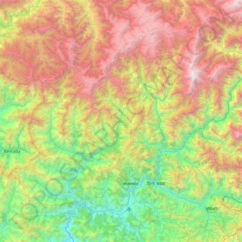
Name: Jajarkot topographic map, elevation, terrain.
Location: Jajarkot, Karnali Province, Nepal (28.61156 81.81912 29.12792 82.58101)
Average elevation: 2,379 m
Minimum elevation: 570 m
Maximum elevation: 5,414 m
Other topographic maps
Click on a map to view its topography, its elevation and its terrain.