
Beveren-Leie topographic map
Interactive map
Click on the map to display elevation.
About this map
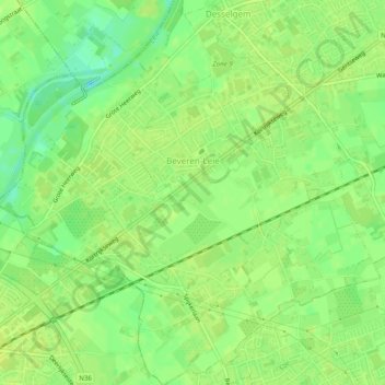
Name: Beveren-Leie topographic map, elevation, terrain.
Location: Beveren-Leie, Waregem, Kortrijk, West Flanders, 8791, Belgium (50.85676 3.32016 50.88766 3.36911)
Average elevation: 15 m
Minimum elevation: 4 m
Maximum elevation: 19 m
Other topographic maps
Click on a map to view its topography, its elevation and its terrain.