
Inyokern topographic map
Interactive map
Click on the map to display elevation.
About this map
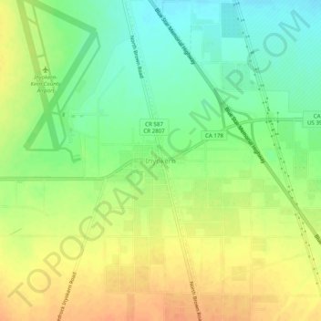
Name: Inyokern topographic map, elevation, terrain.
Location: Inyokern, Kern County, California, 93527, USA (35.62690 -117.83257 35.66690 -117.79257)
Average elevation: 746 m
Minimum elevation: 726 m
Maximum elevation: 765 m