
Far East topographic map
Interactive map
Click on the map to display elevation.
About this map
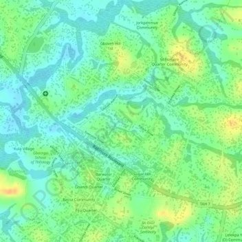
Name: Far East topographic map, elevation, terrain.
Location: Far East, Gbarnga, Zone 3, Jorquelleh, Bong County, Liberia (6.99666 -9.47354 7.00742 -9.46277)
Average elevation: 247 m
Minimum elevation: 232 m
Maximum elevation: 267 m